CASHS HILL FOREST
Sold!

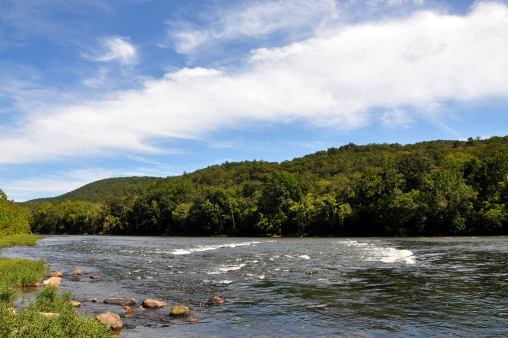
150 acre parcel adjoining the Bluestone Lake Reserve - just a few minutes from the mighty New River
| Price: | |
|---|---|
| $169,000 | |
| ID: | 467 |
| Acres: | 150 |
| Address: | |
Agent Contact:
Richard Grist, 304.645.7674


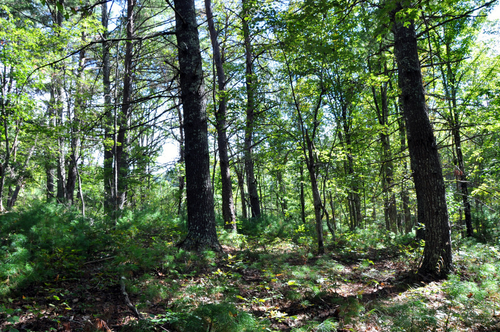
The 150 acre Cashs Ridge Forest adjoins the Bluestone Lake Reserve and is located just a few minutes from the mighty New River. This multi-use property is comprised of a beautiful mature white pine and hardwood forest, wetland bogs and old rolling farm fields.
HIGHLIGHTS
- 149.98 surveyed acres on file
- Adjoins the 18,000 acre Bluestone Lake Wildlife Management Area that includes the 2000 acre Bluestone Lake and 12 miles of river frontage
- Just a few walking minutes to the mighty New River
- Valuable White Pine and Appalachian hardwood timber ready for harvest if so desired
- Timber report by a professional forester on file
- All Mineral Rights the owner has will convey
- Electric easement in place (once served the old homeplace)
- 25+/- acres of old rolling farm fields once produced barley, wheat, corn, oats and hay
- Circa 1800’s log barn for repurposing
- Abandon farmstead includes a large farm house and several sheds to reclaim vintage lumber for repurposing
- The rich mix of mature forest and abandon farm fields create a textbook wildlife habitat
- Dark skies for star viewing and planet observation
- Low taxes and no zoning
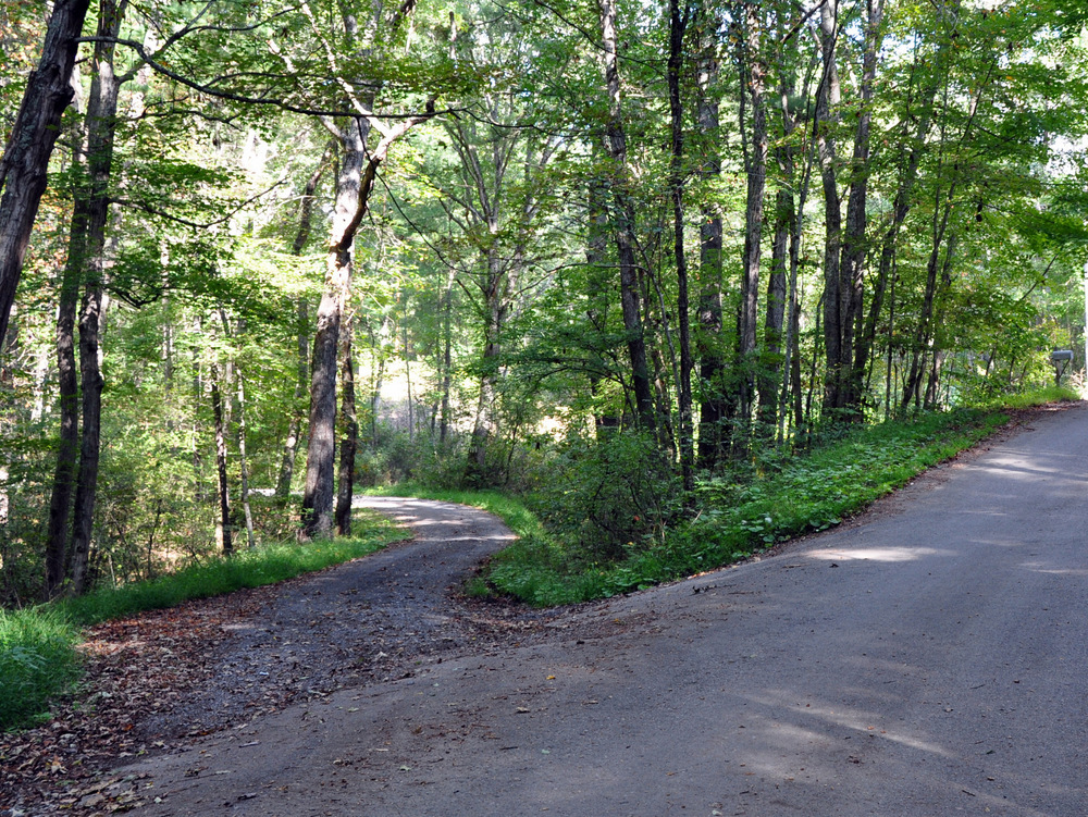
- Good access via state maintained roads and a short private driveway
- Diverse mix of neo-tropical songbirds, hawks, eagles, ravens, buzzards, crows and owls
- White tail deer, wild turkey, black bear, fox, coyote, rabbit and squirrels make up the resident wildlife population
LOCATION
Google Coordinates: 37.455149°(N), -80.890672°(W)
Elevation Range: 1572 ft. to 1990 ft. +/-
FOREST/TIMBER RESOURCES
See Timber Appraisal in the Maps and Documents Section on this page above.
The forest is comprised of some 26,000 trees with a foresters estimate of 500,000 board feet of merchantable timber and about 7100 tons of pulpwood. White Pine and Hemlock make up about 50% of the sawtimber with the remainder comprised of 25% Red and White Oak group and the balance in Maples, Hickory, Black Cherry and a host of other.
Capital value of the timber has not been assigned as of this date.
MINERAL RESOURCES
All rights the owner has will convey with the property.
BOUNDARIES AND SURVEY
The property has a boundary survey plat dated 1998 and recorded as Map File B-57C. The property is being sold by the boundary and not by the acre.
ZONING
The county is subject to some zoning and subdivision regulations. All prospective buyers should consult the County Commission and also the Health Department for details regarding zoning, building codes and installation of septic systems.
PROPERTY TYPE/USE SUMMARY
The property is currently devoted to forestland and older pasture fields. A breakdown, as determined from aerial photography is as follows:
Older Fields: 25.00 acres +/-
Forestland: 124.98 acres +/-
(This summary is only an estimation of current property use as determined from aerial photography. It is made subject to the estimation of property boundaries and any errors in the interpretation of land use type from the aerial photography utilized.)
DEED, TAXES, LEGAL
Deed Information: Deed Book 205 Page 497
Summers County, West Virginia
Real Estate Tax ID/Acreage/Taxes:
Summers County, West Virginia
Pipestem District
TM 24 Parcel 11
2016 Total Real Estate Taxes: $783.43
BLUESTONE LAKE WILDLIFE MANAGEMENT AREA – 18,019 ACRES OF LAND AND WATER.
Bluestone Lake Wildlife Management Area is a wildlife management area (WMA) surrounding Bluestone Lake and the New River. The section of the lake from just upstream of the Bluestone River to Bluestone Dam is in Bluestone State Park; the rest of the lake in West Virginia basin comprises Bluestone WMA. Altogether, the WMA comprises 18,019 acres of land and water.
Allowable activities include:
- Hiking on the 22 miles of trails
- Canoeing and boating on the 2000 acre lake and 12 miles stretch along the Bluestone River and New River
- Hunting
- Fishing
- Camping
- Horseback riding
- Picnicking and rock climbing
DIRECTIONS
From Athens, travel Vermillion Street past Concord University and this will turn into Red Sulphur Turnpike. Continue on the Red Sulphur Turnpike for 4.7 miles (passing through Pettry at 1.5 miles). Take a right (still Red Sulphur Turnpike) and travel 1 mile to a “T” intersection. Take a left on Island Creek Road for 3 miles and make a left on Cashes Hill and travel 1.1 miles and take a left on unnamed graveled CR (22/4) and travel ¾ mile and the private drive is on the right. Park here and walk down the wooded private drive 600 feet and there will be a red farm gate at the entrance.
REGIONAL INFORMATION
STATE INFORMATION
- State of West Virginia
- West Virginia Explorer
- West Virginia Government
- West Virginia State Parks
- West Virginia Tourism
- Wonderful West Virginia Magazine
- WV Department of Natural Resources
- Virginia – Commonwealth of Virginia
- Virginia is for Lovers
- Virginia Museum of History & Culture
- Virginia Museum of Natural History
- Virginia National Park Service
- Virginia Recreation
- Virginia State Parks
DISCLAIMER Information provided by Foxfire Realty is believed to be reliable but is not guaranteed and should be independently verified by potential purchasers. Foxfire Realty and the Seller(s) make no representations or warranties about the property or the accuracy or completeness of the Information concerning the property, including, but not limited to, title, mineral rights, condition, access, acreage, zoning, taxes, square footage, measurements, protective covenants, forest resource information, timber appraisals. Information concerning the property is provided for marketing purposes only and is subject to change, withdrawal, or correction. Foxfire Realty is not responsible for any inaccuracies, errors, or omissions concerning Information about the property, and provided information is not a substitute for inspections, surveys, title searches or other due diligence by potential purchasers. Photographs may be digitally enhanced and may be representative of the property but not an actual depiction thereof. Maps are provided for informational purposes only.

Contact Foxfire
Gallery